Technology observes, science validates
Every RUMA data point comes from a verifiable chain: from the satellite pixel to the individual forest stand. This page explains which sources we use, how we estimate and how we check the results.
In short
RUMA estimates forest height, biomass and carbon by combining satellite imagery, LiDAR and field surveys with artificial intelligence models. Every estimate reports its uncertainty and is validated by forestry experts against ground measurements.
Data sources
Satellite. Sentinel imagery from the EU Copernicus programme to follow vegetation vigour, growth and disturbance over the whole area, with multi-year time series.
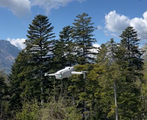
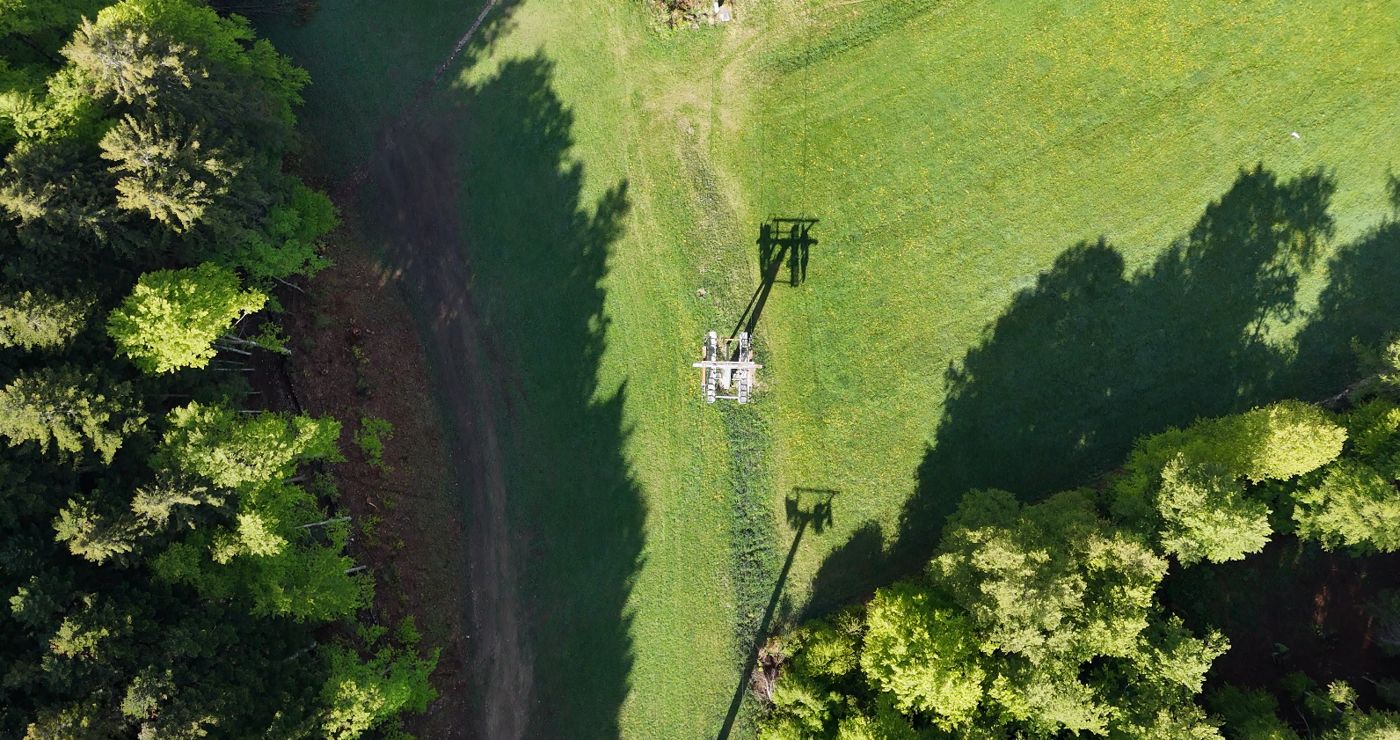
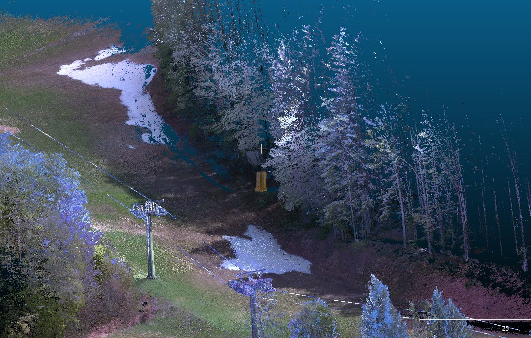
LiDAR. Airborne or drone surveys measuring the three-dimensional structure of the forest: tree height, crown size, number of trees.
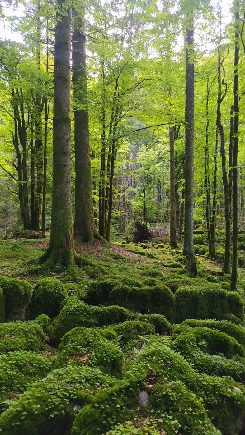
Field surveys. Sample plots measured by our technicians, used to train the models and to check their results.
Existing data. Forest management plans, inventories and maps provided by the client or public bodies.
From survey to verified data
- 01AcquisitionSatellite, LiDAR, drones and ground sensors, with metadata on date, sensor and resolution.
- 02EstimationAI models derive height, biomass, carbon and risk indicators.
- 03ValidationComparison with field sample plots and calculation of uncertainty.
- 04ReportingReports with data, sources and uncertainty, ready for auditors and certification bodies.
Accuracy and uncertainty
No remote estimate is exact, which is why we always state how far it may differ from the true value. For every project we report the uncertainty of the main estimates, how it was calculated and the field measurements used to validate it.
When an estimate does not reach the accuracy required by the project or the reference standard, we add ground surveys rather than force the model.
In the SylvaTwin ropeway pilot, for example, drone LiDAR cut survey time by 50%, with a mean error in distance estimates in the order of one centimetre.
Standards and partners
For carbon credits we work within the EU CRCF framework, Regulation (EU) 2024/3012. Projects are verified by independent certification bodies.
We develop our models with research partners: we are an accredited start-up of the University of Trento and work with Fondazione Bruno Kessler on the forest digital twin and on remote tree species recognition.